Where is Fayette County, Pennsylvania?
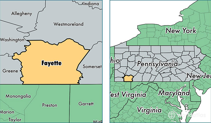
Fayette County is a county equivalent area found in Pennsylvania, USA. The county government of Fayette is found in the county seat of Uniontown.
With a total 2,067.61 sq. km of land and water area, Fayette County, Pennsylvania is the 1183rd largest county equivalent area in the United States. Home to 134,086 people, Fayette County has a total 62500 households earning 39115 on average per year.
Fayette County, Pennsylvania offers the following attractions to visitors: Fallingwater, Fort Necessity NB, Friendship Hill NHS
Fayette County, Pennsylvania - Quick Facts
| FIPS Code | 42051 |
| Area Codes | 724,814 |
| Time Zone | EST |
| Major Cities | Uniontown (population: 32,064), Connellsville (population: 19,136), Belle Vernon (population: 15,819), Brownsville (population: 9,451), Smithfield (population: 6,401), Dunbar (population: 4,711), Masontown (population: 4,302), Perryopolis (population: 3,835), Lemont Furnace (population: 2,955), Fairchance (population: 2,721) |
| Land Area | 51,771 sq miles |
| Water Area | 790 sq miles |
| Household Income | $39,115 |
| Housing Units | 62,500 |
| Median Home Value | $84,200 |
| High School Grads | 85% of population |
| Holders of Bachelors Degrees | 14% of population |
| Retail Spending | $10,661 per capita |
| Food & Accomodation Sales | $246,895 per capita |
| Universities and Colleges | West Virginia Career Institute |
This page was last updated on June 30, 2016.