Where is Union County, Ohio?
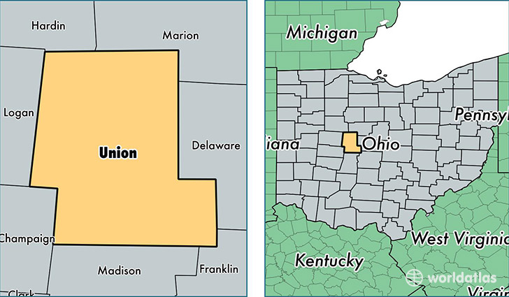
Union County is a county equivalent area found in Ohio, USA. The county government of Union is found in the county seat of Marysville.
With a total 1,131.49 sq. km of land and water area, Union County, Ohio is the 2403rd largest county equivalent area in the United States. Home to 53,776 people, Union County has a total 19680 households earning 65086 on average per year.
Union County, Ohio - Quick Facts
| FIPS Code | 39159 |
| Area Codes | 937,740 |
| Time Zone | EST |
| Major Cities | Marysville (population: 32,044), Richwood (population: 5,723), North Lewisburg (population: 2,449), Milford Center (population: 1,968), Raymond (population: 1,603), Magnetic Springs (population: 260), Unionville Center (population: 260) |
| Land Area | 20,763 sq miles |
| Water Area | 432 sq miles |
| Household Income | $65,086 |
| Housing Units | 19,680 |
| Median Home Value | $171,800 |
| High School Grads | 92% of population |
| Holders of Bachelors Degrees | 27% of population |
| Retail Spending | $10,039 per capita |
| Food & Accomodation Sales | $51,449 per capita |
This page was last updated on June 30, 2016.