Where is Meigs County, Ohio?
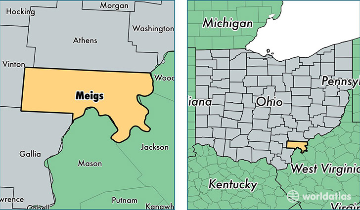
Meigs County is a county equivalent area found in Ohio, USA. The county government of Meigs is found in the county seat of Pomeroy.
With a total 1,121.48 sq. km of land and water area, Meigs County, Ohio is the 2428th largest county equivalent area in the United States. Home to 23,331 people, Meigs County has a total 10986 households earning 35469 on average per year.
Meigs County, Ohio - Quick Facts
| FIPS Code | 39105 |
| Area Codes | 740 |
| Time Zone | EST |
| Major Cities | Pomeroy (population: 6,592), Middleport (population: 3,863), Racine (population: 3,406), Reedsville (population: 2,132), Long Bottom (population: 1,438), Rutland (population: 1,249), Langsville (population: 911), Shade (population: 759), Syracuse (population: 749), Portland (population: 615) |
| Land Area | 9,008 sq miles |
| Water Area | 430 sq miles |
| Household Income | $35,469 |
| Housing Units | 10,986 |
| Median Home Value | $82,600 |
| High School Grads | 83% of population |
| Holders of Bachelors Degrees | 12% of population |
| Retail Spending | $5,424 per capita |
| Food & Accomodation Sales | $15,334 per capita |
This page was last updated on June 30, 2016.