Where is Genesee County, New York?
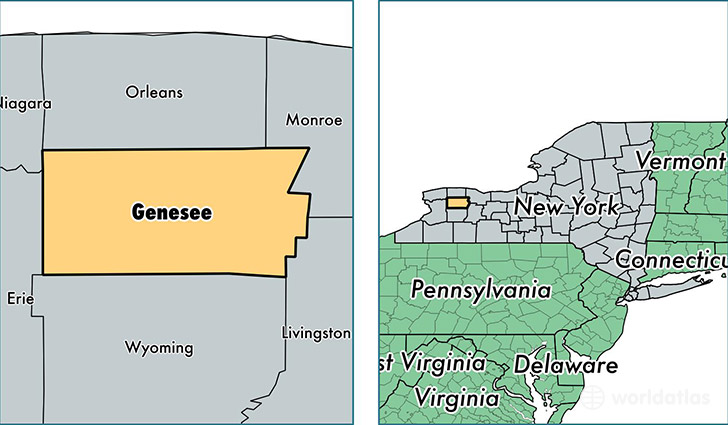
Genesee County is a county equivalent area found in New York, USA. The county government of Genesee is found in the county seat of Batavia.
With a total 1,282.84 sq. km of land and water area, Genesee County, New York is the 2200th largest county equivalent area in the United States. Home to 59,162 people, Genesee County has a total 25384 households earning 49922 on average per year.
Genesee County, New York - Quick Facts
| FIPS Code | 36037 |
| Area Codes | 585 |
| Time Zone | EST |
| Major Cities | Batavia (population: 23,266), Le Roy (population: 8,260), Corfu (population: 5,192), Bergen (population: 3,811), Oakfield (population: 3,775), Pavilion (population: 2,855), Byron (population: 2,463), Elba (population: 2,281), Darien Center (population: 2,211), Alexander (population: 1,982) |
| Land Area | 22,843 sq miles |
| Water Area | 493 sq miles |
| Household Income | $49,922 |
| Housing Units | 25,384 |
| Median Home Value | $105,000 |
| High School Grads | 90% of population |
| Holders of Bachelors Degrees | 21% of population |
| Retail Spending | $12,134 per capita |
| Food & Accomodation Sales | $79,495 per capita |
| Universities and Colleges | Continental School of Beauty Culture |
This page was last updated on June 30, 2016.