Where is Fulton County, New York?
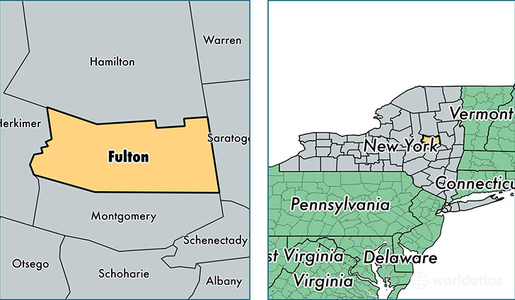
Fulton County is a county equivalent area found in New York, USA. The county government of Fulton is found in the county seat of Johnstown.
With a total 1,380.15 sq. km of land and water area, Fulton County, New York is the 2067th largest county equivalent area in the United States. Home to 54,105 people, Fulton County has a total 28529 households earning 44276 on average per year.
Fulton County, New York - Quick Facts
| FIPS Code | 36035 |
| Area Codes | 518,315 |
| Time Zone | EST |
| Major Cities | Gloversville (population: 23,513), Johnstown (population: 12,470), Broadalbin (population: 5,457), Northville (population: 3,499), Mayfield (population: 3,220), Caroga Lake (population: 826), Stratford (population: 718) |
| Land Area | 20,890 sq miles |
| Water Area | 495 sq miles |
| Household Income | $44,276 |
| Housing Units | 28,529 |
| Median Home Value | $106,000 |
| High School Grads | 85% of population |
| Holders of Bachelors Degrees | 15% of population |
| Retail Spending | $10,478 per capita |
| Food & Accomodation Sales | $46,555 per capita |
This page was last updated on June 30, 2016.