Where is Sullivan County, New Hampshire?
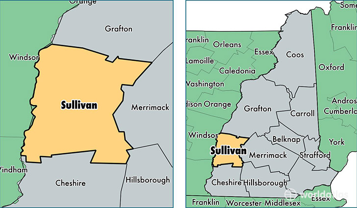
Sullivan County is a county equivalent area found in New Hampshire, USA. The county government of Sullivan is found in the county seat of Newport.
With a total 1,429.66 sq. km of land and water area, Sullivan County, New Hampshire is the 2001st largest county equivalent area in the United States. Home to 43,103 people, Sullivan County has a total 22255 households earning 54463 on average per year.
Sullivan County, New Hampshire offers the following attraction to visitors: Saint-Gaudens NHS
Sullivan County, New Hampshire - Quick Facts
| FIPS Code | 33019 |
| Area Codes | 603 |
| Time Zone | EST |
| Major Cities | Claremont (population: 13,887), Newport (population: 7,721), Charlestown (population: 5,329), Grantham (population: 2,925), Sunapee (population: 2,900), Plainfield (population: 1,811), Cornish (population: 1,402), Lempster (population: 1,142), Washington (population: 1,105), Springfield (population: 983) |
| Land Area | 16,642 sq miles |
| Water Area | 537 sq miles |
| Household Income | $54,463 |
| Housing Units | 22,255 |
| Median Home Value | $171,700 |
| High School Grads | 90% of population |
| Holders of Bachelors Degrees | 26% of population |
| Retail Spending | $13,154 per capita |
| Food & Accomodation Sales | $32,307 per capita |
This page was last updated on June 30, 2016.