Where is Teton County, Montana?
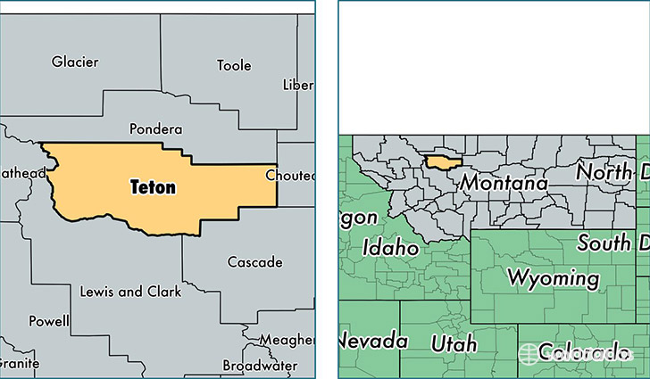
Teton County is a county equivalent area found in Montana, USA. The county government of Teton is found in the county seat of Choteau.
With a total 5,937.67 sq. km of land and water area, Teton County, Montana is the 269th largest county equivalent area in the United States. Home to 6,064 people, Teton County has a total 2876 households earning 43327 on average per year.
Teton County, Montana - Quick Facts
| FIPS Code | 30099 |
| Area Codes | 406 |
| Time Zone | MST |
| Major Cities | Choteau (population: 2,634), Fairfield (population: 1,820), Dutton (population: 592), Power (population: 569), Pendroy (population: 258), Bynum (population: 95) |
| Land Area | 2,341 sq miles |
| Water Area | 2,273 sq miles |
| Household Income | $43,327 |
| Housing Units | 2,876 |
| Median Home Value | $134,700 |
| High School Grads | 90% of population |
| Holders of Bachelors Degrees | 25% of population |
| Retail Spending | $7,130 per capita |
| Food & Accomodation Sales | $2,987 per capita |
This page was last updated on June 30, 2016.