Where is Garfield County, Montana?
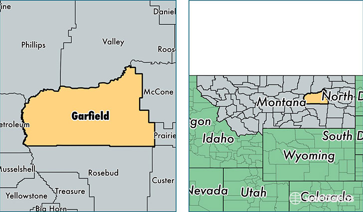
Garfield County is a county equivalent area found in Montana, USA. The county government of Garfield is found in the county seat of Jordan.
With a total 12,554.87 sq. km of land and water area, Garfield County, Montana is the 88th largest county equivalent area in the United States. Home to 1,309 people, Garfield County has a total 844 households earning 45096 on average per year.
Garfield County, Montana - Quick Facts
| FIPS Code | 30033 |
| Area Codes | 406 |
| Time Zone | MST |
| Major Cities | Jordan (population: 849), Brusett (population: 142), Cohagen (population: 88), Sand Springs (population: 82), Mosby (population: 52), Angela (population: 32) |
| Land Area | 505 sq miles |
| Water Area | 4,675 sq miles |
| Household Income | $45,096 |
| Housing Units | 844 |
| Median Home Value | $113,300 |
| High School Grads | 92% of population |
| Holders of Bachelors Degrees | 13% of population |
| Retail Spending | $8,583 per capita |
| Food & Accomodation Sales | $647 per capita |
This page was last updated on June 30, 2016.