Where is Clark County, Missouri?
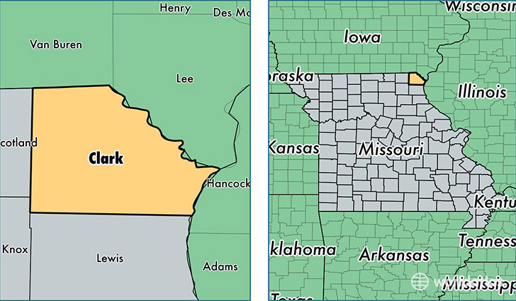
Clark County is a county equivalent area found in Missouri, USA. The county government of Clark is found in the county seat of Kahoka.
With a total 1,325.62 sq. km of land and water area, Clark County, Missouri is the 2130th largest county equivalent area in the United States. Home to 6,917 people, Clark County has a total 3437 households earning 40204 on average per year.
Clark County, Missouri - Quick Facts
| FIPS Code | 29045 |
| Area Codes | 660 |
| Time Zone | CST |
| Major Cities | Kahoka (population: 3,817), Alexandria (population: 623), Wayland (population: 573), Luray (population: 506), Wyaconda (population: 468), Revere (population: 397) |
| Land Area | 2,671 sq miles |
| Water Area | 505 sq miles |
| Household Income | $40,204 |
| Housing Units | 3,437 |
| Median Home Value | $71,300 |
| High School Grads | 85% of population |
| Holders of Bachelors Degrees | 12% of population |
| Retail Spending | $12,319 per capita |
| Food & Accomodation Sales | $2,120 per capita |
This page was last updated on June 30, 2016.