Where is Butler County, Missouri?
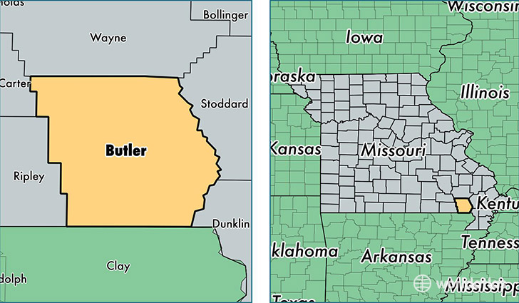
Butler County is a county equivalent area found in Missouri, USA. The county government of Butler is found in the county seat of Poplar Bluff.
With a total 1,810.38 sq. km of land and water area, Butler County, Missouri is the 1443rd largest county equivalent area in the United States. Home to 42,972 people, Butler County has a total 19588 households earning 34969 on average per year.
Butler County, Missouri - Quick Facts
| FIPS Code | 29023 |
| Area Codes | 573 |
| Time Zone | CST |
| Major Cities | Poplar Bluff (population: 34,874), Wappapello (population: 2,586), Williamsville (population: 1,898), Qulin (population: 1,619), Fisk (population: 1,401), Broseley (population: 1,261), Neelyville (population: 1,225), Harviell (population: 1,170), Rombauer (population: 41), Fagus (population: 30) |
| Land Area | 16,592 sq miles |
| Water Area | 695 sq miles |
| Household Income | $34,969 |
| Housing Units | 19,588 |
| Median Home Value | $89,700 |
| High School Grads | 78% of population |
| Holders of Bachelors Degrees | 14% of population |
| Retail Spending | $15,437 per capita |
| Food & Accomodation Sales | $57,927 per capita |
This page was last updated on June 30, 2016.