Where is Wicomico County, Maryland?
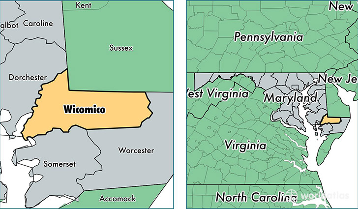
Wicomico County is a county equivalent area found in Maryland, USA. The county government of Wicomico is found in the county seat of Salisbury.
With a total 1,036.53 sq. km of land and water area, Wicomico County, Maryland is the 2602nd largest county equivalent area in the United States. Home to 101,539 people, Wicomico County has a total 41413 households earning 51092 on average per year.
Wicomico County, Maryland - Quick Facts
| FIPS Code | 24045 |
| Area Codes | 410 |
| Time Zone | EST |
| Major Cities | Salisbury (population: 69,863), Delmar (population: 6,592), Fruitland (population: 4,930), Hebron (population: 4,104), Parsonsburg (population: 3,300), Pittsville (population: 2,844), Mardela Springs (population: 2,664), Willards (population: 2,252), Quantico (population: 1,055), Sharptown (population: 771) |
| Land Area | 39,204 sq miles |
| Water Area | 375 sq miles |
| Household Income | $51,092 |
| Housing Units | 41,413 |
| Median Home Value | $181,900 |
| High School Grads | 86% of population |
| Holders of Bachelors Degrees | 26% of population |
| Retail Spending | $19,078 per capita |
| Food & Accomodation Sales | $184,806 per capita |
This page was last updated on June 30, 2016.