Where is Menifee County, Kentucky?
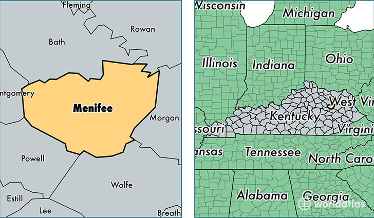
Menifee County is a county equivalent area found in Kentucky, USA. The county government of Menifee is found in the county seat of Frenchburg.
With a total 533.37 sq. km of land and water area, Menifee County, Kentucky is the 3010th largest county equivalent area in the United States. Home to 6,287 people, Menifee County has a total 3725 households earning 29108 on average per year.
Menifee County, Kentucky - Quick Facts
| FIPS Code | 21165 |
| Area Codes | 606 |
| Time Zone | EST |
| Major Cities | Frenchburg (population: 3,282), Wellington (population: 2,017), Means (population: 680), Denniston (population: 304) |
| Land Area | 2,427 sq miles |
| Water Area | 203 sq miles |
| Household Income | $29,108 |
| Housing Units | 3,725 |
| Median Home Value | $77,300 |
| High School Grads | 72% of population |
| Holders of Bachelors Degrees | 12% of population |
| Retail Spending | $3,631 per capita |
This page was last updated on June 30, 2016.