Where is Lee County, Kentucky?
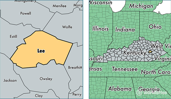
Lee County is a county equivalent area found in Kentucky, USA. The county government of Lee is found in the county seat of Beattyville.
With a total 547.15 sq. km of land and water area, Lee County, Kentucky is the 3004th largest county equivalent area in the United States. Home to 7,594 people, Lee County has a total 3409 households earning 22920 on average per year.
Lee County, Kentucky - Quick Facts
| FIPS Code | 21129 |
| Area Codes | 606 |
| Time Zone | EST |
| Major Cities | Beattyville (population: 7,365), Zoe (population: 62) |
| Land Area | 2,932 sq miles |
| Water Area | 209 sq miles |
| Household Income | $22,920 |
| Housing Units | 3,409 |
| Median Home Value | $62,200 |
| High School Grads | 71% of population |
| Holders of Bachelors Degrees | 6% of population |
| Retail Spending | $7,891 per capita |
| Food & Accomodation Sales | $2,530 per capita |
This page was last updated on June 30, 2016.