Where is Shelby County, Indiana?
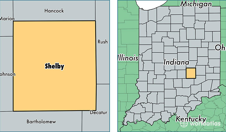
Shelby County is a county equivalent area found in Indiana, USA. The county government of Shelby is found in the county seat of Shelbyville.
With a total 1,069.03 sq. km of land and water area, Shelby County, Indiana is the 2524th largest county equivalent area in the United States. Home to 44,579 people, Shelby County has a total 19046 households earning 51440 on average per year.
Shelby County, Indiana - Quick Facts
| FIPS Code | 18145 |
| Area Codes | 317,765,812 |
| Time Zone | EST |
| Major Cities | Shelbyville (population: 27,837), Fairland (population: 4,671), Morristown (population: 2,657), Fountaintown (population: 2,518), Waldron (population: 1,926), Flat Rock (population: 1,380), Boggstown (population: 500), Gwynneville (population: 211) |
| Land Area | 17,212 sq miles |
| Water Area | 411 sq miles |
| Household Income | $51,440 |
| Housing Units | 19,046 |
| Median Home Value | $125,000 |
| High School Grads | 86% of population |
| Holders of Bachelors Degrees | 15% of population |
| Retail Spending | $11,094 per capita |
| Food & Accomodation Sales | $46,357 per capita |
This page was last updated on June 30, 2016.