Where is Gibson County, Indiana?
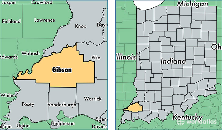
Gibson County is a county equivalent area found in Indiana, USA. The county government of Gibson is found in the county seat of Princeton.
With a total 1,292.83 sq. km of land and water area, Gibson County, Indiana is the 2185th largest county equivalent area in the United States. Home to 33,759 people, Gibson County has a total 14611 households earning 49329 on average per year.
Gibson County, Indiana - Quick Facts
| FIPS Code | 18051 |
| Area Codes | 812 |
| Time Zone | CST |
| Major Cities | Princeton (population: 12,335), Oakland City (population: 4,926), Fort Branch (population: 4,367), Haubstadt (population: 4,065), Owensville (population: 3,632), Patoka (population: 1,445), Francisco (population: 1,400), Hazleton (population: 1,086), Somerville (population: 209), Buckskin (population: 89) |
| Land Area | 13,034 sq miles |
| Water Area | 488 sq miles |
| Household Income | $49,329 |
| Housing Units | 14,611 |
| Median Home Value | $104,400 |
| High School Grads | 90% of population |
| Holders of Bachelors Degrees | 16% of population |
| Retail Spending | $13,501 per capita |
| Food & Accomodation Sales | $38,501 per capita |
| Universities and Colleges | Oakland City University |
This page was last updated on June 30, 2016.