Where is DeKalb County, Indiana?
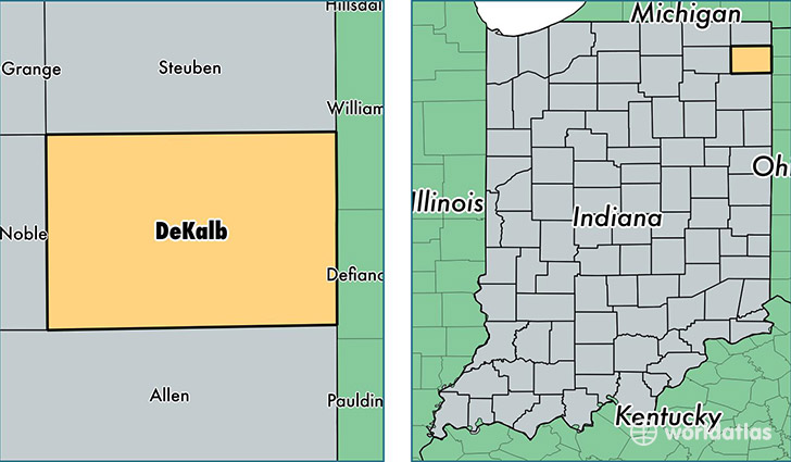
DeKalb County is a county equivalent area found in Indiana, USA. The county government of DeKalb is found in the county seat of Auburn.
With a total 942.39 sq. km of land and water area, DeKalb County, Indiana is the 2698th largest county equivalent area in the United States. Home to 42,383 people, DeKalb County has a total 17524 households earning 47247 on average per year.
DeKalb County, Indiana - Quick Facts
| FIPS Code | 18033 |
| Area Codes | 260 |
| Time Zone | EST |
| Major Cities | Auburn (population: 18,676), Garrett (population: 7,936), Butler (population: 5,069), Waterloo (population: 4,301), Ashley (population: 1,584), Saint Joe (population: 1,545), Corunna (population: 1,384) |
| Land Area | 16,364 sq miles |
| Water Area | 363 sq miles |
| Household Income | $47,247 |
| Housing Units | 17,524 |
| Median Home Value | $107,800 |
| High School Grads | 88% of population |
| Holders of Bachelors Degrees | 16% of population |
| Retail Spending | $9,774 per capita |
| Food & Accomodation Sales | $47,475 per capita |
This page was last updated on June 30, 2016.