Where is Clark County, Indiana?
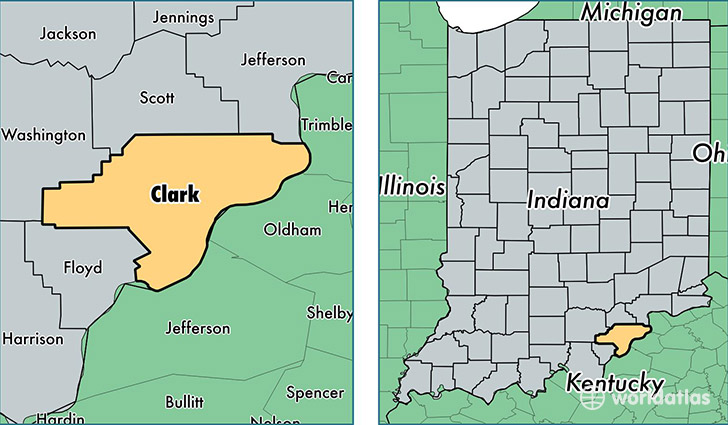
Clark County is a county equivalent area found in Indiana, USA. The county government of Clark is found in the county seat of Jeffersonville.
With a total 975.01 sq. km of land and water area, Clark County, Indiana is the 2671st largest county equivalent area in the United States. Home to 114,262 people, Clark County has a total 48408 households earning 50496 on average per year.
Clark County, Indiana - Quick Facts
| FIPS Code | 18019 |
| Area Codes | 812 |
| Time Zone | EST |
| Major Cities | Jeffersonville (population: 45,419), Clarksville (population: 19,831), Sellersburg (population: 16,298), Charlestown (population: 14,759), Borden (population: 4,783), Henryville (population: 4,312), Memphis (population: 3,062), Otisco (population: 1,773), Marysville (population: 1,694), Nabb (population: 950) |
| Land Area | 44,117 sq miles |
| Water Area | 373 sq miles |
| Household Income | $50,496 |
| Housing Units | 48,408 |
| Median Home Value | $127,400 |
| High School Grads | 86% of population |
| Holders of Bachelors Degrees | 19% of population |
| Retail Spending | $16,414 per capita |
| Food & Accomodation Sales | $197,472 per capita |
| Universities and Colleges | Mid-America College of Funeral Service, Ottawa University-Jeffersonville, Ideal Beauty Academy |
This page was last updated on June 30, 2016.