Where is Delaware County, Iowa?
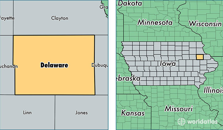
Delaware County is a county equivalent area found in Iowa, USA. The county government of Delaware is found in the county seat of Manchester.
With a total 1,499.46 sq. km of land and water area, Delaware County, Iowa is the 1840th largest county equivalent area in the United States. Home to 17,398 people, Delaware County has a total 7986 households earning 54076 on average per year.
Delaware County, Iowa - Quick Facts
| FIPS Code | 19055 |
| Area Codes | 563 |
| Time Zone | CST |
| Major Cities | Manchester (population: 8,134), Earlville (population: 1,590), Hopkinton (population: 1,506), Delhi (population: 1,336), Ryan (population: 890), Greeley (population: 509), Masonville (population: 495), Dundee (population: 485), Delaware (population: 162) |
| Land Area | 6,717 sq miles |
| Water Area | 578 sq miles |
| Household Income | $54,076 |
| Housing Units | 7,986 |
| Median Home Value | $125,300 |
| High School Grads | 91% of population |
| Holders of Bachelors Degrees | 16% of population |
| Retail Spending | $9,791 per capita |
| Food & Accomodation Sales | $9,038 per capita |
This page was last updated on June 30, 2016.