Where is Washington County, Colorado?
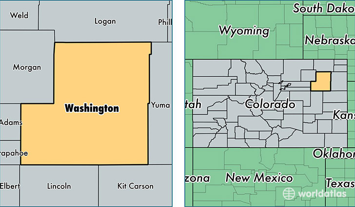
Washington County is a county equivalent area found in Colorado, USA. The county government of Washington is found in the county seat of Akron.
With a total 6,537.02 sq. km of land and water area, Washington County, Colorado is the 232nd largest county equivalent area in the United States. Home to 4,780 people, Washington County has a total 2410 households earning 44683 on average per year.
Washington County, Colorado - Quick Facts
| FIPS Code | 8121 |
| Area Codes | 970 |
| Time Zone | MST |
| Major Cities | Akron (population: 2,532), Otis (population: 1,063), Cope (population: 272), Woodrow (population: 252), Anton (population: 152), Lindon (population: 106) |
| Land Area | 1,846 sq miles |
| Water Area | 2,518 sq miles |
| Household Income | $44,683 |
| Housing Units | 2,410 |
| Median Home Value | $110,500 |
| High School Grads | 90% of population |
| Holders of Bachelors Degrees | 19% of population |
| Retail Spending | $5,015 per capita |
| Food & Accomodation Sales | $1,542 per capita |
This page was last updated on June 30, 2016.