Where is Crowley County, Colorado?
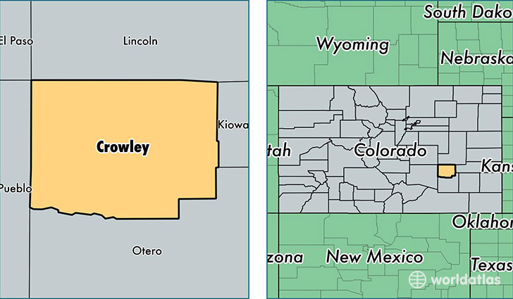
Crowley County is a county equivalent area found in Colorado, USA. The county government of Crowley is found in the county seat of Ordway.
With a total 2,072.84 sq. km of land and water area, Crowley County, Colorado is the 1175th largest county equivalent area in the United States. Home to 5,360 people, Crowley County has a total 1546 households earning 31477 on average per year.
Crowley County, Colorado - Quick Facts
| FIPS Code | 8025 |
| Area Codes | 719 |
| Time Zone | MST |
| Major Cities | Ordway (population: 2,515), Olney Springs (population: 2,247), Sugar City (population: 385), Crowley (population: 142) |
| Land Area | 2,070 sq miles |
| Water Area | 787 sq miles |
| Household Income | $31,477 |
| Housing Units | 1,546 |
| Median Home Value | $78,800 |
| High School Grads | 75% of population |
| Holders of Bachelors Degrees | 12% of population |
| Retail Spending | $2,427 per capita |
This page was last updated on June 30, 2016.