Where is Monterey County, California?
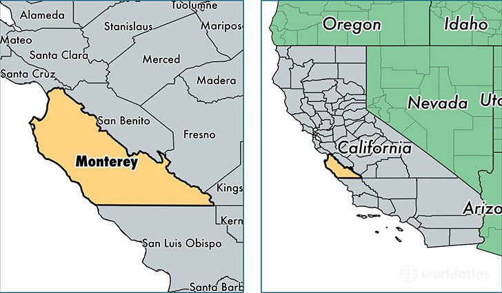
Monterey County is a county equivalent area found in California, USA. The county government of Monterey is found in the county seat of Salinas.
With a total 9,767.48 sq. km of land and water area, Monterey County, California is the 141st largest county equivalent area in the United States. Home to 431,344 people, Monterey County has a total 139381 households earning 59168 on average per year.
Monterey County, California - Quick Facts
| FIPS Code | 6053 |
| Area Codes | 805,831 |
| Time Zone | PST |
| Major Cities | Salinas (population: 187,314), Seaside (population: 34,299), Monterey (population: 32,512), Soledad (population: 27,843), Marina (population: 23,037), Greenfield (population: 18,041), King City (population: 16,313), Pacific Grove (population: 15,470), Carmel (population: 12,413), Castroville (population: 10,611) |
| Land Area | 166,543 sq miles |
| Water Area | 3,281 sq miles |
| Household Income | $59,168 |
| Housing Units | 139,381 |
| Median Home Value | $362,400 |
| High School Grads | 71% of population |
| Holders of Bachelors Degrees | 23% of population |
| Retail Spending | $11,293 per capita |
| Food & Accomodation Sales | $1,197,083 per capita |
| Universities and Colleges | Defense Language Institute, Monterey Peninsula College |
This page was last updated on June 30, 2016.