Willamette River
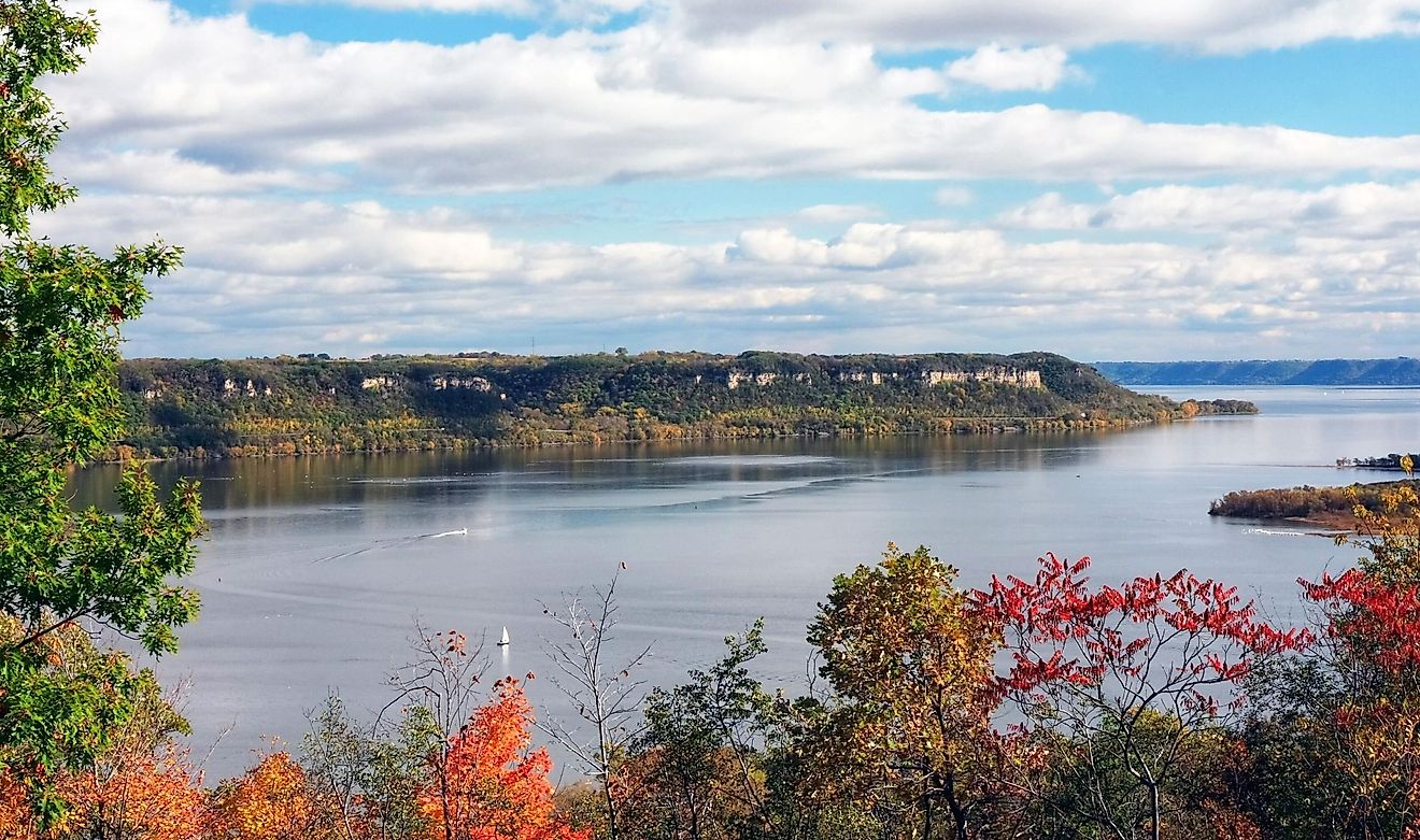
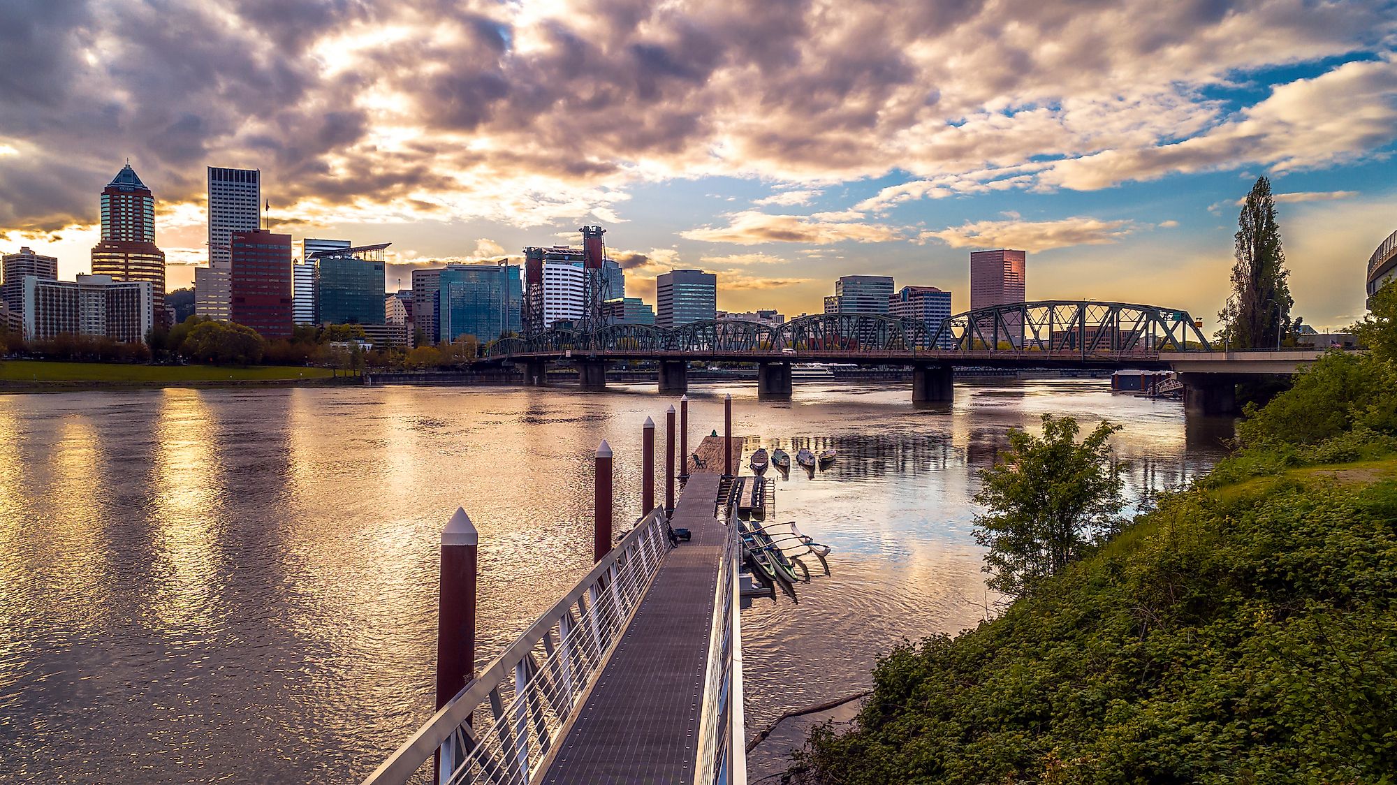
The Willamette River is a 301 km long river in northwestern Oregon, United States. Draining an area of 29,730 km2, the Willamette is a major tributary to the Columbia River. The Willamette River flows northward between the Oregon Coast range and the Cascade Mountain Range, passing Corvallis, Albany, Salem and Oregon City before emptying into the Columbia River near Portland, the state’s largest city.

The cities Salem and Portland surround Willamette’s mouth and are situated in the Willamette Valley. Dams have been built on Willamette’s tributaries to control flooding in addition to the production of hydroelectric power for the region. The U.S Army Corps of Engineers operates more than 20 large dams and other smaller ones on the Willamette’s drainage basin, which serve several economic and environmental purposes, such as flood control, creation of recreational reservoirs and production of hydroelectricity. The Willamette Valley is one of the most fertile agricultural regions in North America due to its rich sediments and variety of soils, making it a hub for diverse agricultural activities such as fruit growing, truck gardening, wine making and dairying. Roads cross the main stem of Willamette at approximately 50 different bridges, each with particular access to bicycles, pedestrians and rail traffic.
Etymology and history
The different indigenous American groups such as the Kalapuya, the Chinook and the Clackamas were the first to inahbit the region. The name “Willamette” is of native origin and have been possibly derived from the French pronunciation of the name of a native American village, belonging to the Clackamas Indians who used to live along the Clackamas River in the Willamette Valley. The name may also have been derived from the Kalapuya dialects of the Kalapuya people, who also inhabited the Willamette Valley.
Origin and course

The Willamette River is formed by the confluence of several tributaries which originate in the mountains south and southeast of Eugene and Springfield, Oregon. These tributaries are the Middle Fork Willamette River and the Coast Fork Willamette River, which meet near Springfield and forms the main stem of the Willamette River that meanders northwards for about 301 km into the Columbia River. The river turns at Newberg, where it deviates sharply eastwards, and then about 29 km downstream of Newberg, the river turns northwards again. The river splits into two channels near its mouth in the north of downtown Portland, which flow around Sauvie Island in the Columbia River.
Geology
The Willamette River basin was created primarily by plate tectonics and volcanic activities. The basin was altered by erosion and sedimentation, and by other activities that were related to the enormous glacial floods. While the Pacific Plate subducted beneath the North American Plate about 35 million years ago, the initial trough-like configuration was created as a forearc basin - a region between the oceanic trench and the associated volcanic arc. The valley was originally a part of the continental shelf, but about 20 to 16 million years ago, an uplift formed the Coast Range and separated the Willamette River basin from the Pacific Ocean.