Where is Orleans, France?
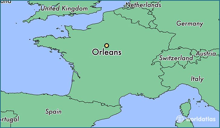
Orleans is a city found in Centre-Val de Loire, France. It is located 47.90 latitude and 1.90 longitude and it is situated at elevation 115 meters above sea level.
Orleans has a population of 124,149 making it the 2nd biggest city in Centre-Val de Loire. It operates on the CEST time zone, which means that it follows the same time zone as Tours.
Quick facts
| Country | France |
| Metropolitan region | Centre-Val de Loire |
| Population | 124,149 |
| Elevation | 115 m over sea level |
| Time Zone | CEST |
| Longitude | 1.903890 |
| Latitude | 47.902890 |
This page was last updated on October 15, 2015.