Sint Maarten
Sint Maarten is an autonomous constituent country of the Kingdom of Netherlands that is located in the Leeward Islands of the Lesser Antilles island group in the northeastern Caribbean Sea. Covering an area of 34 km2, Sint Maarten forms the southern part of the Caribbean island of Saint Martin, the northern part of which is occupied by Saint-Martin, an Overseas Collectivity of France. The French island of Saint Barthélemy (St. Barts) is situated to the southeast of Sint Maarten.
Geography

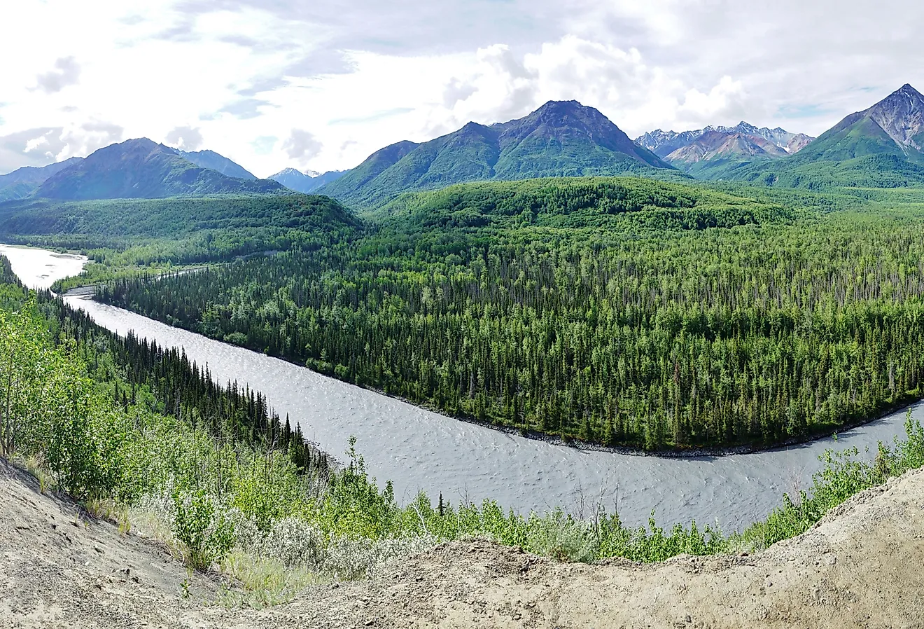
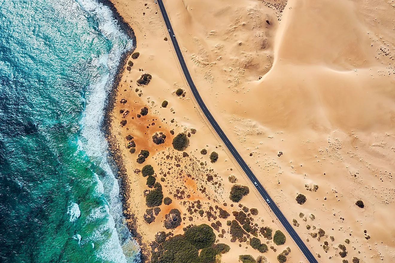
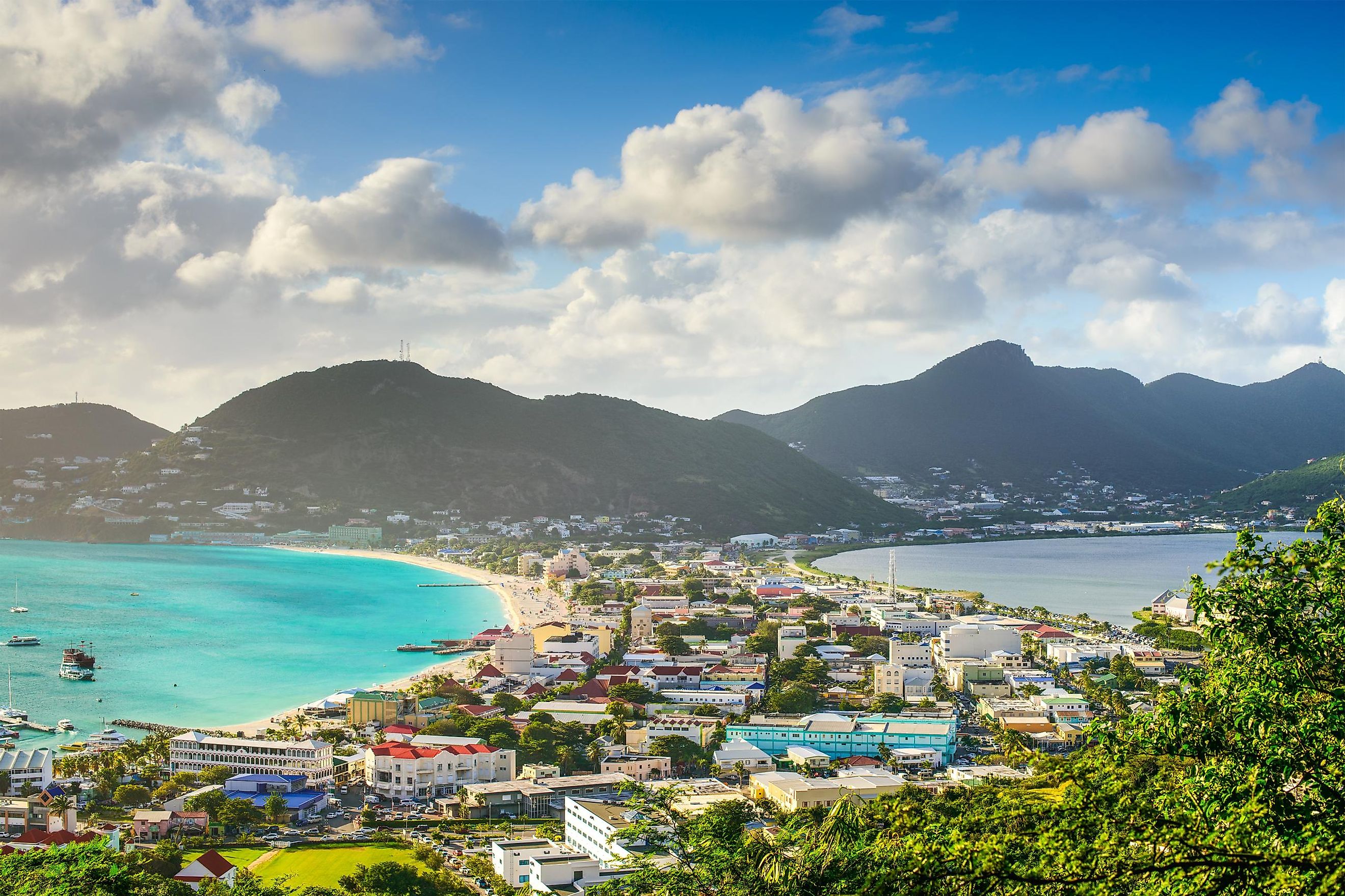
The central and northern part of Sint Maarten has a rugged terrain with Mount Flagstaff being its highest point, rising to an elevation of 383 m. The southern part of the island is mainly low-lying and dotted with numerous salt pans, coastal lagoons, sand spits. The boundary between the Dutch and the French halves of the island passes through the center of the Simpson Bay Lagoon. The small Little Key island, which is a part of Sint Maarten, is located in the lagoon. The 1.88 km2 Great Salt Pond is the largest pond on Sint Maarten which borders the capital city of Philipsburg. It has been designated as an Important Bird Area by BirdLife International as it hosts several laughing gulls before their breeding season.
Occupying a narrow stretch of land between the Great Salt Pond and the Great bay is Philipsburg, the capital and principal town of Sint Maarten. It serves as a major commercial center of the entire Saint Martin Island as well as one of the busiest ports of the Caribbean region.
Numerous small islands like Cow and Calf, Guana Key of Pelican, Hen and Chicks, Molly Beday, and Pelikan Key are situated off the coast of Sint Maarten.
Sint Maarten experiences a “tropical marine” climate with warm and humid conditions throughout the year. The rainy season occurs from May to November with an average annual rainfall of about 1,160 mm near the sea level and a greater amount in the upland areas. The island was struck by the devastating hurricanes of Irma and Maria in 2017.
Wildlife

The country supports many floral species including cacti, flamboyant trees, hibiscus, mahogany, and yellow sage. The hills of the island country are covered by semi-evergreen seasonal forests. The native floral species of Sint Maarten include bell pepper, bay rum tree, salt heliotrope, spiny amaranth, sourbush, and West Indian holly. Some significant plants that have been introduced in Sint Maarten include Aloe vera, Spanish bayonet, manila grass, and Singapore almond. Crowfoot grass is an invasive species that has been observed on Sint Maarten.
A part of the Simpson Bay Lagoon known as Mullet Pond hosts about 70% of the mangrove trees of Sint Maarten. These mangroves serve as nurseries for young fish and protect the coastal areas during hurricanes. The area has been designated as a Ramsar Wetland site in 2016.
Brief History

Sint Maarten was originally inhabited by the Indigenous Arawak and the Carib peoples for several centuries and was initially named Soualiga or Land of Salt. The Spanish explorer Christopher Columbus first spotted the island on November 11, 1493, on the feast day of Saint Martin of Tours, and thereby named the island in the saint’s honor. The Dutch occupied the island in the 1620s and began to exploit its salt deposits. Saint Martin was captured by Spain in 1633 who built a fort at Point Blanche, to strengthen its hold on the island. After the end of the Eighty Years' War for Dutch independence, the Spanish abandoned the island and as a result, the French and the Dutch rushed to occupy the island and to build some small settlements.
With the signing of the Treaty of Concordia on March 23, 1648, the island was divided between France and the Dutch Republic. In 1828, Sint Maarten (the island’s Dutch portion) became a part of the Dutch West Indies and in 1845, it became an island territory under a shared administration with five other islands. In 1954, along with the other island territories of the Dutch Caribbean, Sint Maarten joined the Netherland Antilles. On October 10, 2010, with the dissolution of the Netherland Antilles, Sint Maarten was recognized as an autonomous constituent country within the Kingdom of the Netherlands.
The island country’s economy is highly dependent on tourism and the visitors get to enjoy the historical sites, casinos, shopping venues, and beautiful white-sand beaches of the island country. The annual multi-day carnival which is held in April is the main cultural event of Sint Maarten. Many notable cruise liners like Celebrity Solstice and Disney Magic also visit the country’s Philipsburg port.