Where is Green County, Wisconsin?
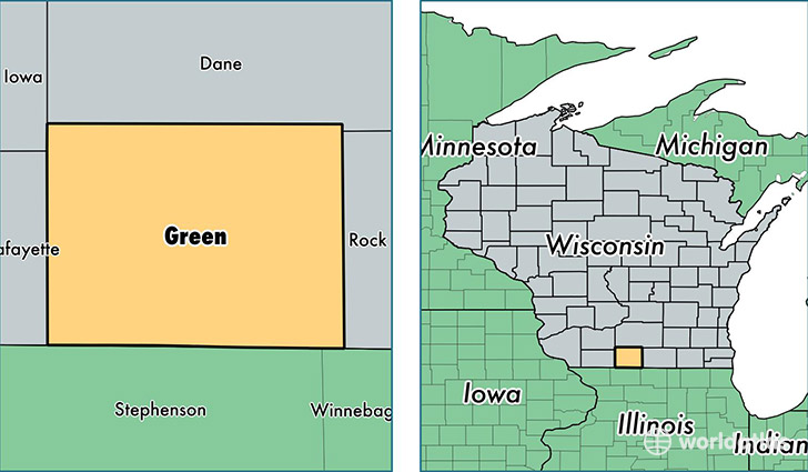
Green County is a county equivalent area found in Wisconsin, USA. The county government of Green is found in the county seat of Monroe.
With a total 1,513.98 sq. km of land and water area, Green County, Wisconsin is the 1805th largest county equivalent area in the United States. Home to 37,063 people, Green County has a total 15801 households earning 55584 on average per year.
Green County, Wisconsin - Quick Facts
| FIPS Code | 55045 |
| Area Codes | 608 |
| Time Zone | CST |
| Major Cities | Monroe (population: 15,244), Brodhead (population: 6,820), New Glarus (population: 3,885), Brooklyn (population: 3,719), Monticello (population: 2,631), Albany (population: 2,425), Juda (population: 1,241), Browntown (population: 1,086) |
| Land Area | 14,310 sq miles |
| Water Area | 584 sq miles |
| Household Income | $55,584 |
| Housing Units | 15,801 |
| Median Home Value | $158,300 |
| High School Grads | 91% of population |
| Holders of Bachelors Degrees | 21% of population |
| Retail Spending | $21,438 per capita |
| Food & Accomodation Sales | $33,457 per capita |
This page was last updated on June 30, 2016.