Where is Crawford County, Wisconsin?
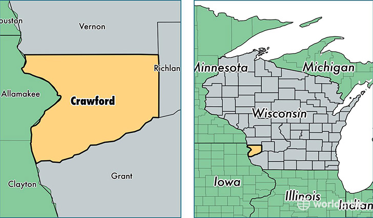
Crawford County is a county equivalent area found in Wisconsin, USA. The county government of Crawford is found in the county seat of Prairie du Chien.
With a total 1,551.95 sq. km of land and water area, Crawford County, Wisconsin is the 1746th largest county equivalent area in the United States. Home to 16,392 people, Crawford County has a total 8777 households earning 42235 on average per year.
Crawford County, Wisconsin - Quick Facts
| FIPS Code | 55023 |
| Area Codes | 608 |
| Time Zone | CST |
| Major Cities | Prairie du Chien (population: 8,413), Gays Mills (population: 1,834), Soldiers Grove (population: 1,769), Wauzeka (population: 1,325), Eastman (population: 1,208), Ferryville (population: 1,087), Steuben (population: 408), Seneca (population: 152), Lynxville (population: 98), Mount Sterling (population: 80) |
| Land Area | 6,329 sq miles |
| Water Area | 571 sq miles |
| Household Income | $42,235 |
| Housing Units | 8,777 |
| Median Home Value | $121,100 |
| High School Grads | 90% of population |
| Holders of Bachelors Degrees | 15% of population |
| Retail Spending | $12,921 per capita |
| Food & Accomodation Sales | $22,551 per capita |
This page was last updated on June 30, 2016.