Where is Montgomery County, Texas?
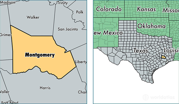
Montgomery County is a county equivalent area found in Texas, USA. The county government of Montgomery is found in the county seat of Conroe.
With a total 2,789.11 sq. km of land and water area, Montgomery County, Texas is the 690th largest county equivalent area in the United States. Home to 518,947 people, Montgomery County has a total 188329 households earning 67766 on average per year.
Montgomery County, Texas - Quick Facts
| FIPS Code | 48339 |
| Area Codes | 936,281 |
| Time Zone | CST |
| Major Cities | Conroe (population: 138,603), Spring (population: 138,220), Magnolia (population: 57,673), Montgomery (population: 43,132), Willis (population: 30,780), Porter (population: 27,422), New Caney (population: 21,259), Cleveland (population: 14,563), Splendora (population: 12,799), Pinehurst (population: 4,895) |
| Land Area | 200,366 sq miles |
| Water Area | 1,042 sq miles |
| Household Income | $67,766 |
| Housing Units | 188,329 |
| Median Home Value | $166,200 |
| High School Grads | 86% of population |
| Holders of Bachelors Degrees | 31% of population |
| Retail Spending | $12,748 per capita |
| Food & Accomodation Sales | $728,582 per capita |
This page was last updated on June 30, 2016.