Where is Matagorda County, Texas?
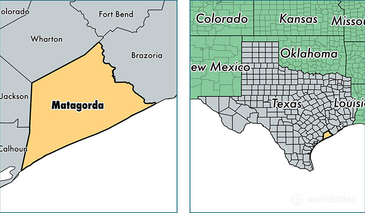
Matagorda County is a county equivalent area found in Texas, USA. The county government of Matagorda is found in the county seat of Bay City.
With a total 4,176.38 sq. km of land and water area, Matagorda County, Texas is the 416th largest county equivalent area in the United States. Home to 36,519 people, Matagorda County has a total 18841 households earning 43096 on average per year.
Matagorda County, Texas - Quick Facts
| FIPS Code | 48321 |
| Area Codes | 979,361 |
| Time Zone | CST |
| Major Cities | Bay City (population: 22,949), Palacios (population: 7,142), Van Vleck (population: 2,297), Blessing (population: 1,505), Markham (population: 1,297), Matagorda (population: 648), Midfield (population: 466), Wadsworth (population: 309), Pledger (population: 130), Collegeport (population: 60) |
| Land Area | 14,100 sq miles |
| Water Area | 1,100 sq miles |
| Household Income | $43,096 |
| Housing Units | 18,841 |
| Median Home Value | $92,000 |
| High School Grads | 78% of population |
| Holders of Bachelors Degrees | 15% of population |
| Retail Spending | $8,547 per capita |
| Food & Accomodation Sales | $38,800 per capita |
This page was last updated on June 30, 2016.