Where is Colorado County, Texas?
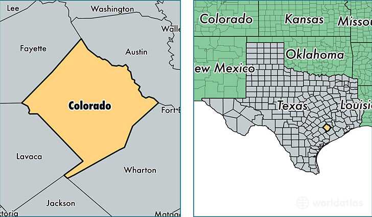
Colorado County is a county equivalent area found in Texas, USA. The county government of Colorado is found in the county seat of Columbus.
With a total 2,521.83 sq. km of land and water area, Colorado County, Texas is the 808th largest county equivalent area in the United States. Home to 20,719 people, Colorado County has a total 10487 households earning 45146 on average per year.
Colorado County, Texas - Quick Facts
| FIPS Code | 48089 |
| Area Codes | 979 |
| Time Zone | CST |
| Major Cities | Columbus (population: 6,654), Eagle Lake (population: 4,779), Weimar (population: 4,699), Cat Spring (population: 1,431), Garwood (population: 1,127), Alleyton (population: 969), Sheridan (population: 766), Glidden (population: 348), Rock Island (population: 335), Altair (population: 105) |
| Land Area | 8,000 sq miles |
| Water Area | 960 sq miles |
| Household Income | $45,146 |
| Housing Units | 10,487 |
| Median Home Value | $109,600 |
| High School Grads | 82% of population |
| Holders of Bachelors Degrees | 17% of population |
| Retail Spending | $11,050 per capita |
| Food & Accomodation Sales | $21,717 per capita |
This page was last updated on June 30, 2016.