Where is Bastrop County, Texas?
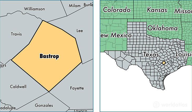
Bastrop County is a county equivalent area found in Texas, USA. The county government of Bastrop is found in the county seat of Bastrop.
With a total 2,319.45 sq. km of land and water area, Bastrop County, Texas is the 984th largest county equivalent area in the United States. Home to 78,069 people, Bastrop County has a total 29281 households earning 51750 on average per year.
Bastrop County, Texas - Quick Facts
| FIPS Code | 48021 |
| Area Codes | 512,830 |
| Time Zone | CST |
| Major Cities | Bastrop (population: 25,360), Elgin (population: 22,177), Cedar Creek (population: 11,585), Smithville (population: 9,138), Paige (population: 2,923), Red Rock (population: 2,289), McDade (population: 1,610), Rosanky (population: 943) |
| Land Area | 30,143 sq miles |
| Water Area | 888 sq miles |
| Household Income | $51,750 |
| Housing Units | 29,281 |
| Median Home Value | $117,700 |
| High School Grads | 80% of population |
| Holders of Bachelors Degrees | 16% of population |
| Retail Spending | $9,485 per capita |
| Food & Accomodation Sales | $115,125 per capita |
This page was last updated on June 30, 2016.