Where is Beaufort County, South Carolina?
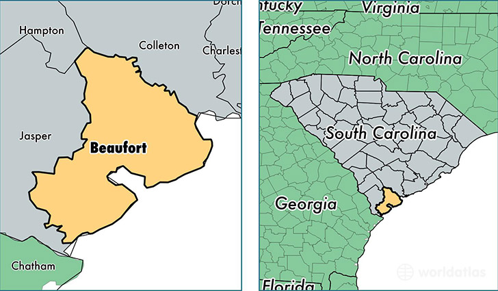
Beaufort County is a county equivalent area found in South Carolina, USA. The county government of Beaufort is found in the county seat of Beaufort.
With a total 2,391.59 sq. km of land and water area, Beaufort County, South Carolina is the 882nd largest county equivalent area in the United States. Home to 175,852 people, Beaufort County has a total 93114 households earning 57316 on average per year.
Beaufort County, South Carolina - Quick Facts
| FIPS Code | 45013 |
| Area Codes | 843 |
| Time Zone | EST |
| Major Cities | Beaufort (population: 51,555), Hilton Head Island (population: 41,280), Bluffton (population: 35,171), Okatie (population: 16,982), Saint Helena Island (population: 9,820), Seabrook (population: 4,109), Port Royal (population: 3,817), Parris Island (population: 3,163), Sheldon (population: 514), Daufuskie Island (population: 430) |
| Land Area | 67,897 sq miles |
| Water Area | 576 sq miles |
| Household Income | $57,316 |
| Housing Units | 93,114 |
| Median Home Value | $275,500 |
| High School Grads | 91% of population |
| Holders of Bachelors Degrees | 38% of population |
| Retail Spending | $15,240 per capita |
| Food & Accomodation Sales | $530,485 per capita |
| Universities and Colleges | University of South Carolina-Beaufort |
This page was last updated on June 30, 2016.