Where is Wayne County, Pennsylvania?
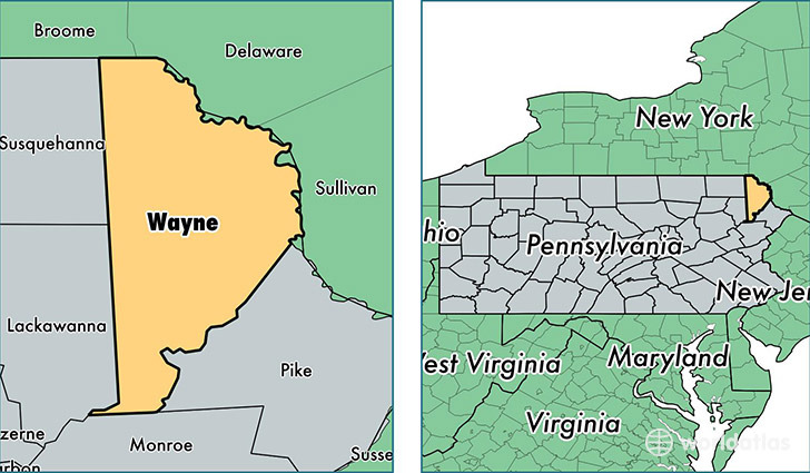
Wayne County is a county equivalent area found in Pennsylvania, USA. The county government of Wayne is found in the county seat of Honesdale.
With a total 1,944.08 sq. km of land and water area, Wayne County, Pennsylvania is the 1279th largest county equivalent area in the United States. Home to 51,401 people, Wayne County has a total 31714 households earning 49313 on average per year.
Wayne County, Pennsylvania offers the following attraction to visitors: Upper Delaware NSR
Wayne County, Pennsylvania - Quick Facts
| FIPS Code | 42127 |
| Area Codes | 570 |
| Time Zone | EST |
| Major Cities | Lake Ariel (population: 13,682), Honesdale (population: 12,458), Hawley (population: 11,878), Waymart (population: 7,397), Gouldsboro (population: 5,581), Beach Lake (population: 2,520), Newfoundland (population: 2,294), Damascus (population: 1,224), Lakeville (population: 1,152), Equinunk (population: 1,102) |
| Land Area | 19,846 sq miles |
| Water Area | 725 sq miles |
| Household Income | $49,313 |
| Housing Units | 31,714 |
| Median Home Value | $179,900 |
| High School Grads | 88% of population |
| Holders of Bachelors Degrees | 19% of population |
| Retail Spending | $13,355 per capita |
| Food & Accomodation Sales | $187,793 per capita |
| Universities and Colleges | St Tikhon's Orthodox Theological Seminary |
This page was last updated on June 30, 2016.