Where is Washington County, Pennsylvania?
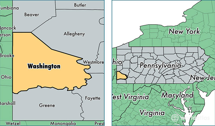
Washington County is a county equivalent area found in Pennsylvania, USA. The county government of Washington is found in the county seat of Washington.
With a total 2,229.74 sq. km of land and water area, Washington County, Pennsylvania is the 1064th largest county equivalent area in the United States. Home to 208,187 people, Washington County has a total 93354 households earning 53693 on average per year.
Washington County, Pennsylvania - Quick Facts
| FIPS Code | 42125 |
| Area Codes | 724 |
| Time Zone | EST |
| Major Cities | Washington (population: 49,543), Canonsburg (population: 36,692), McDonald (population: 13,993), Monongahela (population: 11,728), Charleroi (population: 10,384), Venetia (population: 8,768), Finleyville (population: 8,183), Burgettstown (population: 7,383), Eighty Four (population: 5,321), Donora (population: 4,931) |
| Land Area | 80,381 sq miles |
| Water Area | 857 sq miles |
| Household Income | $53,693 |
| Housing Units | 93,354 |
| Median Home Value | $143,600 |
| High School Grads | 90% of population |
| Holders of Bachelors Degrees | 26% of population |
| Retail Spending | $11,097 per capita |
| Food & Accomodation Sales | $233,718 per capita |
This page was last updated on June 30, 2016.