Where is Youngstown, OH?
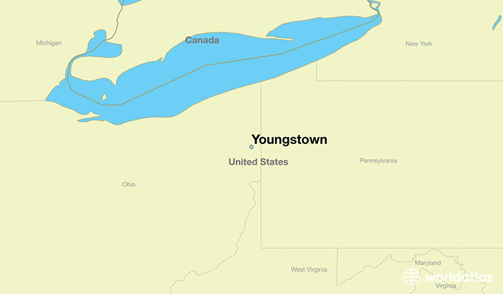
Youngstown is a city found in Ohio, The United States Of America. It is located 41.10 latitude and -80.65 longitude and it is situated at elevation 267 meters above sea level.
Youngstown has a population of 66,982 making it the 9th biggest city in Ohio. It operates on the EDT time zone, which means that it follows the same time zone as Columbus.
Quick facts
| Country | The United States Of America |
| State | Ohio |
| Population | 66,982 |
| Elevation | 267 m over sea level |
| Time Zone | EDT |
| Longitude | -80.649520 |
| Latitude | 41.099780 |
Youngstown has a population of around 65573, of which 32111 (48%) are male and 33462 (51%) are female. The average age of the inhabitants of Youngstown is 39.10, meaning that the average person is above the national median age of 37. For every male, there are approximately 1.04 females, meaning that the population is relatively evenly distributed between males and female(s).
Of Youngstown's 65573 residents, around 62780 (95.70%) identify as having a single race. Of the population, 31783 are white (48.50%), 29168 are black/African Americans (44.50%), 382 are native Americans (0.60%), 344 are asians (0.50%), 1103 are other (1.70%).
The median income of households in Youngstown is $24133.00, meaning that most of the households are above the poverty threshold for families of three. Of the total population, 18.70% of households reported an annual income of less than $10,000.
Youngstown, OH Zipcodes
The city of Youngstown has 13 zipcodes recognized by the United States Census Bureau: 44420, 44436, 44502, 44503, 44504, 44505, 44506, 44507, 44509, 44510, 44511, 44512, 44514.