Where is Hancock County, Ohio?
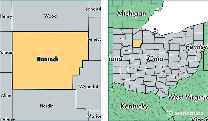
Hancock County is a county equivalent area found in Ohio, USA. The county government of Hancock is found in the county seat of Findlay.
With a total 1,382.17 sq. km of land and water area, Hancock County, Ohio is the 2062nd largest county equivalent area in the United States. Home to 75,337 people, Hancock County has a total 33122 households earning 49589 on average per year.
Hancock County, Ohio - Quick Facts
| FIPS Code | 39063 |
| Area Codes | 419 |
| Time Zone | EST |
| Major Cities | Findlay (population: 55,632), McComb (population: 3,119), Arlington (population: 2,651), Rawson (population: 1,478), Van Buren (population: 1,367), Arcadia (population: 1,216), Mount Blanchard (population: 1,202), Jenera (population: 940), Vanlue (population: 678), Mount Cory (population: 573) |
| Land Area | 29,088 sq miles |
| Water Area | 531 sq miles |
| Household Income | $49,589 |
| Housing Units | 33,122 |
| Median Home Value | $127,800 |
| High School Grads | 92% of population |
| Holders of Bachelors Degrees | 26% of population |
| Retail Spending | $14,703 per capita |
| Food & Accomodation Sales | $130,599 per capita |
This page was last updated on June 30, 2016.