Where is Coshocton County, Ohio?
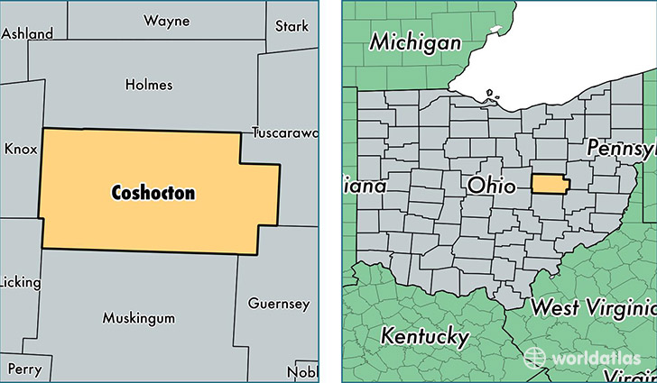
Coshocton County is a county equivalent area found in Ohio, USA. The county government of Coshocton is found in the county seat of Coshocton.
With a total 1,469.77 sq. km of land and water area, Coshocton County, Ohio is the 1942nd largest county equivalent area in the United States. Home to 36,516 people, Coshocton County has a total 16318 households earning 41274 on average per year.
Coshocton County, Ohio - Quick Facts
| FIPS Code | 39031 |
| Area Codes | 330,740 |
| Time Zone | EST |
| Major Cities | Coshocton (population: 18,997), West Lafayette (population: 4,695), Warsaw (population: 3,856), Fresno (population: 3,774), Stone Creek (population: 1,245), Walhonding (population: 1,119), Conesville (population: 826), Plainfield (population: 127), Blissfield (population: 70) |
| Land Area | 14,099 sq miles |
| Water Area | 564 sq miles |
| Household Income | $41,274 |
| Housing Units | 16,318 |
| Median Home Value | $93,300 |
| High School Grads | 85% of population |
| Holders of Bachelors Degrees | 12% of population |
| Retail Spending | $7,151 per capita |
| Food & Accomodation Sales | $22,685 per capita |
This page was last updated on June 30, 2016.