Where is Franklin County, Nebraska?
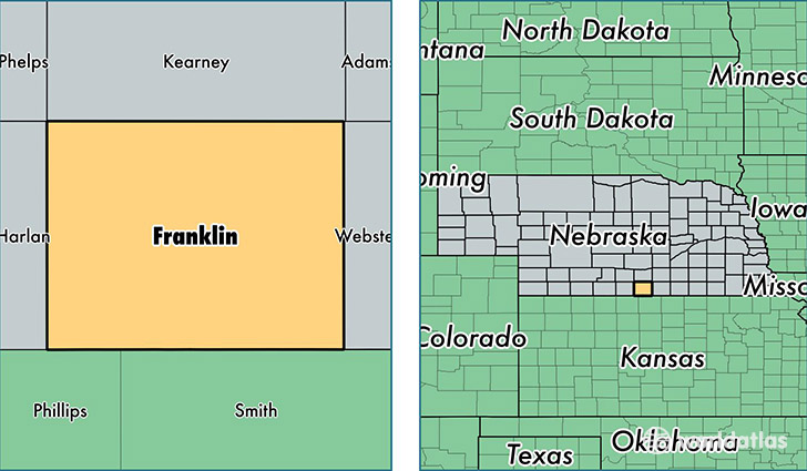
Franklin County is a county equivalent area found in Nebraska, USA. The county government of Franklin is found in the county seat of Franklin.
With a total 1,491.84 sq. km of land and water area, Franklin County, Nebraska is the 1861st largest county equivalent area in the United States. Home to 3,076 people, Franklin County has a total 1722 households earning 43011 on average per year.
Franklin County, Nebraska - Quick Facts
| FIPS Code | 31061 |
| Area Codes | 308,402 |
| Time Zone | CST |
| Major Cities | Franklin (population: 1,302), Hildreth (population: 542), Campbell (population: 487), Upland (population: 310), Riverton (population: 206), Naponee (population: 180), Bloomington (population: 158) |
| Land Area | 1,188 sq miles |
| Water Area | 576 sq miles |
| Household Income | $43,011 |
| Housing Units | 1,722 |
| Median Home Value | $56,200 |
| High School Grads | 91% of population |
| Holders of Bachelors Degrees | 18% of population |
| Retail Spending | $5,522 per capita |
| Food & Accomodation Sales | $972 per capita |
This page was last updated on June 30, 2016.