Where is Chouteau County, Montana?
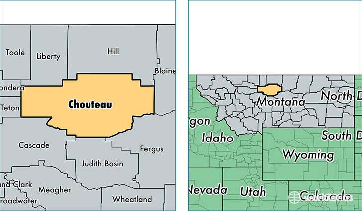
Chouteau County is a county equivalent area found in Montana, USA. The county government of Chouteau is found in the county seat of Fort Benton.
With a total 10,351.72 sq. km of land and water area, Chouteau County, Montana is the 129th largest county equivalent area in the United States. Home to 5,894 people, Chouteau County has a total 2849 households earning 40070 on average per year.
Chouteau County, Montana - Quick Facts
| FIPS Code | 30015 |
| Area Codes | 406 |
| Time Zone | MST |
| Major Cities | Fort Benton (population: 1,817), Big Sandy (population: 1,046), Geraldine (population: 572), Highwood (population: 474), Carter (population: 246), Loma (population: 236), Floweree (population: 176) |
| Land Area | 2,276 sq miles |
| Water Area | 3,973 sq miles |
| Household Income | $40,070 |
| Housing Units | 2,849 |
| Median Home Value | $114,200 |
| High School Grads | 91% of population |
| Holders of Bachelors Degrees | 23% of population |
| Retail Spending | $8,576 per capita |
| Food & Accomodation Sales | $3,802 per capita |
| Universities and Colleges | Stone Child College |
This page was last updated on June 30, 2016.