Where is Washington County, Missouri?
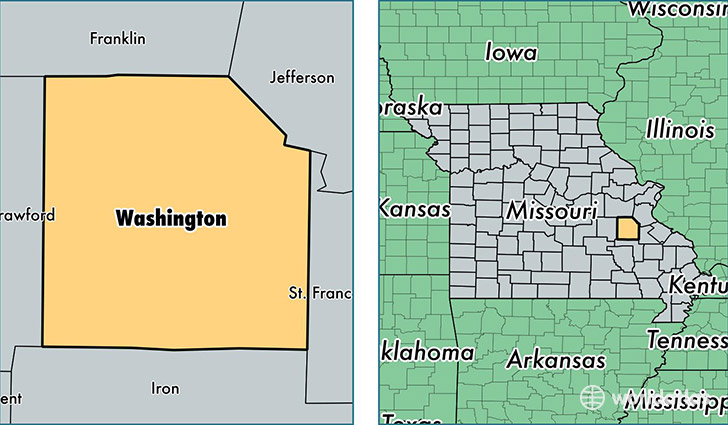
Washington County is a county equivalent area found in Missouri, USA. The county government of Washington is found in the county seat of Potosi.
With a total 1,974.84 sq. km of land and water area, Washington County, Missouri is the 1260th largest county equivalent area in the United States. Home to 25,077 people, Washington County has a total 10811 households earning 34702 on average per year.
Washington County, Missouri - Quick Facts
| FIPS Code | 29221 |
| Area Codes | 573,636 |
| Time Zone | CST |
| Major Cities | Potosi (population: 8,884), Mineral Point (population: 4,259), Cadet (population: 4,046), Richwoods (population: 1,098), Blackwell (population: 1,034), Belgrade (population: 1,006), Caledonia (population: 842), Fletcher (population: 405), Tiff (population: 131) |
| Land Area | 9,682 sq miles |
| Water Area | 760 sq miles |
| Household Income | $34,702 |
| Housing Units | 10,811 |
| Median Home Value | $73,000 |
| High School Grads | 72% of population |
| Holders of Bachelors Degrees | 8% of population |
| Retail Spending | $5,116 per capita |
| Food & Accomodation Sales | $17,311 per capita |
This page was last updated on June 30, 2016.