Where is Marion County, Missouri?
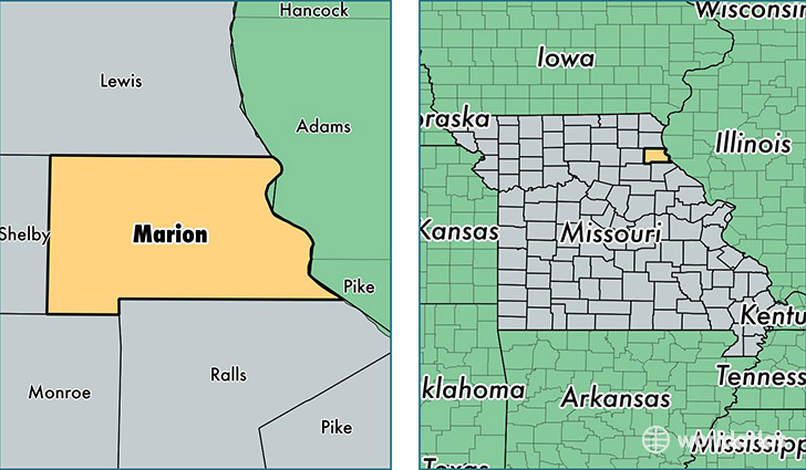
Marion County is a county equivalent area found in Missouri, USA. The county government of Marion is found in the county seat of Palmyra.
With a total 1,150.74 sq. km of land and water area, Marion County, Missouri is the 2367th largest county equivalent area in the United States. Home to 28,920 people, Marion County has a total 12837 households earning 42046 on average per year.
Marion County, Missouri - Quick Facts
| FIPS Code | 29127 |
| Area Codes | 573 |
| Time Zone | CST |
| Major Cities | Hannibal (population: 22,069), Palmyra (population: 5,868), Maywood (population: 943), Philadelphia (population: 651), Taylor (population: 638) |
| Land Area | 11,166 sq miles |
| Water Area | 437 sq miles |
| Household Income | $42,046 |
| Housing Units | 12,837 |
| Median Home Value | $102,200 |
| High School Grads | 84% of population |
| Holders of Bachelors Degrees | 19% of population |
| Retail Spending | $15,033 per capita |
| Food & Accomodation Sales | $41,812 per capita |
This page was last updated on June 30, 2016.