Where is Lafayette County, Missouri?
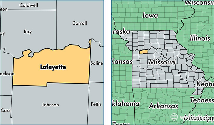
Lafayette County is a county equivalent area found in Missouri, USA. The county government of Lafayette is found in the county seat of Lexington.
With a total 1,654.86 sq. km of land and water area, Lafayette County, Missouri is the 1616th largest county equivalent area in the United States. Home to 32,688 people, Lafayette County has a total 14629 households earning 50527 on average per year.
Lafayette County, Missouri - Quick Facts
| FIPS Code | 29107 |
| Area Codes | 660,816 |
| Time Zone | CST |
| Major Cities | Odessa (population: 9,444), Higginsville (population: 6,094), Lexington (population: 5,736), Concordia (population: 3,585), Bates City (population: 3,096), Wellington (population: 1,397), Waverly (population: 1,160), Mayview (population: 820), Alma (population: 650), Napoleon (population: 632) |
| Land Area | 12,621 sq miles |
| Water Area | 629 sq miles |
| Household Income | $50,527 |
| Housing Units | 14,629 |
| Median Home Value | $117,300 |
| High School Grads | 87% of population |
| Holders of Bachelors Degrees | 17% of population |
| Retail Spending | $9,230 per capita |
| Food & Accomodation Sales | $25,448 per capita |
This page was last updated on June 30, 2016.