Where is Greene County, Missouri?
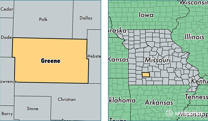
Greene County is a county equivalent area found in Missouri, USA. The county government of Greene is found in the county seat of Springfield.
With a total 1,755.7 sq. km of land and water area, Greene County, Missouri is the 1500th largest county equivalent area in the United States. Home to 285,865 people, Greene County has a total 127653 households earning 40337 on average per year.
Greene County, Missouri offers the following attraction to visitors: Wilson's Creek NB
Greene County, Missouri - Quick Facts
| FIPS Code | 29077 |
| Area Codes | 417 |
| Time Zone | CST |
| Major Cities | Springfield (population: 224,103), Republic (population: 17,900), Willard (population: 8,707), Brookline (population: 7,541), Strafford (population: 7,089), Fair Grove (population: 5,695), Ash Grove (population: 3,786), Walnut Grove (population: 3,035), Pleasant Hope (population: 2,466), Bois D Arc (population: 1,378) |
| Land Area | 110,373 sq miles |
| Water Area | 675 sq miles |
| Household Income | $40,337 |
| Housing Units | 127,653 |
| Median Home Value | $128,100 |
| High School Grads | 90% of population |
| Holders of Bachelors Degrees | 28% of population |
| Retail Spending | $17,856 per capita |
| Food & Accomodation Sales | $578,286 per capita |
| Universities and Colleges | Assemblies of God Theological Seminary, Evangel University, Missouri College of Cosmetology North |
This page was last updated on June 30, 2016.