Where is Taylor, MI?
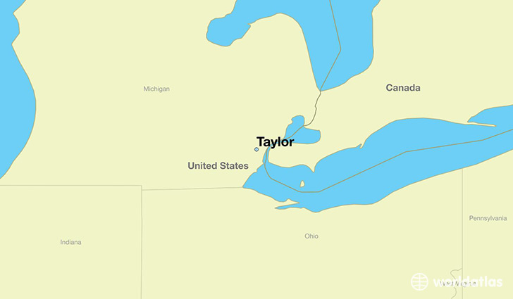
Taylor is a city found in Michigan, The United States Of America. It is located 42.24 latitude and -83.27 longitude and it is situated at elevation 189 meters above sea level.
Taylor has a population of 63,131 making it the 17th biggest city in Michigan. It operates on the CST time zone, which means that it follows the same time zone as Ann Arbor.
Quick facts
| Country | The United States Of America |
| State | Michigan |
| Population | 63,131 |
| Elevation | 189 m over sea level |
| Time Zone | CST |
| Longitude | -83.269650 |
| Latitude | 42.240870 |
Taylor has a population of around 62021, of which 29649 (47%) are male and 32372 (52%) are female. The average age of the inhabitants of Taylor is 37.96, meaning that the average person is above the national median age of 37. For every male, there are approximately 1.09 females, meaning that the population is relatively evenly distributed between males and female(s).
Of Taylor's 62021 residents, around 60305 (97.20%) identify as having a single race. The majority of the population is white, which consists of 76.70% of the population. Of the remaining population, 10202 are black/African Americans (16.40%), 347 are native Americans (0.60%), 985 are asians (1.60%), 1176 are other (1.90%).
The median income of households in Taylor is $40545.00, meaning that most of the households are above the poverty threshold for families of three. Of the total population, 10.60% of households reported an annual income of less than $10,000.
Taylor, MI Zipcodes
The city of Taylor has 1 zipcodes recognized by the United States Census Bureau: 48180.