Where is Rochester Hills, MI?
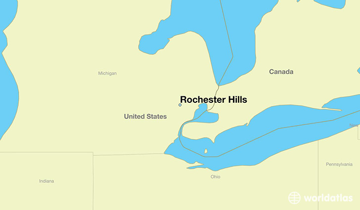
Rochester Hills is a city found in Michigan, The United States Of America. It is located 42.66 latitude and -83.15 longitude and it is situated at elevation 250 meters above sea level.
Rochester Hills has a population of 70,995 making it the 15th biggest city in Michigan. It operates on the CST time zone, which means that it follows the same time zone as Ann Arbor.
Quick facts
| Country | The United States Of America |
| State | Michigan |
| Population | 70,995 |
| Elevation | 250 m over sea level |
| Time Zone | CST |
| Longitude | -83.149930 |
| Latitude | 42.658370 |
Rochester-hills has a population of around 72643, of which 35834 (49%) are male and 36809 (50%) are female. The average age of the inhabitants of Rochester-hills is 39.95, meaning that the average person is above the national median age of 37. For every male, there are approximately 1.03 females, meaning that the population is relatively evenly distributed between males and female(s).
Of Rochester-hills's 72643 residents, around 71012 (97.80%) identify as having a single race. The majority of the population is white, which consists of 81.10% of the population. Of the remaining population, 3781 are black/African Americans (5.20%), 180 are native Americans (0.20%), 7784 are asians (10.00%), 1 are pacific islanders (0.00%), 354 are other (0.50%).
The median income of households in Rochester-hills is $82112.00, meaning that most of the households are above the poverty threshold for families of three. Of the total population, 3.30% of households reported an annual income of less than $10,000.
Rochester Hills, MI Zipcodes
The city of Rochester Hills has 3 zipcodes recognized by the United States Census Bureau: 48306, 48307, 48309.