Where is Caroline County, Maryland?
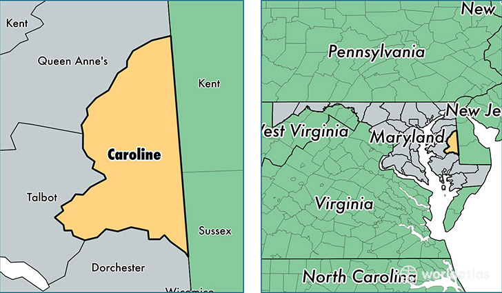
Caroline County is a county equivalent area found in Maryland, USA. The county government of Caroline is found in the county seat of Denton.
With a total 844.13 sq. km of land and water area, Caroline County, Maryland is the 2796th largest county equivalent area in the United States. Home to 32,538 people, Caroline County has a total 13459 households earning 58632 on average per year.
Caroline County, Maryland - Quick Facts
| FIPS Code | 24011 |
| Area Codes | 410 |
| Time Zone | EST |
| Major Cities | Denton (population: 9,454), Federalsburg (population: 6,292), Preston (population: 4,956), Greensboro (population: 4,361), Ridgely (population: 4,020), Marydel (population: 1,847), Henderson (population: 1,617), Goldsboro (population: 1,173), Hillsboro (population: 115) |
| Land Area | 12,563 sq miles |
| Water Area | 319 sq miles |
| Household Income | $58,632 |
| Housing Units | 13,459 |
| Median Home Value | $212,800 |
| High School Grads | 83% of population |
| Holders of Bachelors Degrees | 15% of population |
| Retail Spending | $12,341 per capita |
| Food & Accomodation Sales | $18,868 per capita |
This page was last updated on June 30, 2016.