Where is Montgomery County, Kentucky?
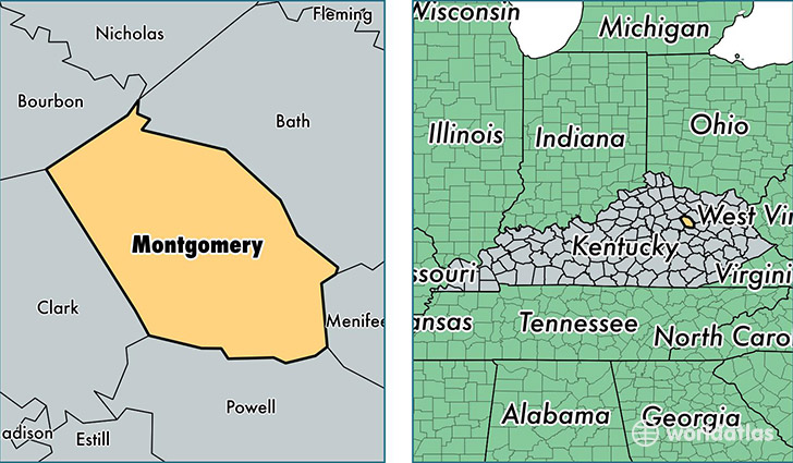
Montgomery County is a county equivalent area found in Kentucky, USA. The county government of Montgomery is found in the county seat of Mount Sterling.
With a total 515.04 sq. km of land and water area, Montgomery County, Kentucky is the 3025th largest county equivalent area in the United States. Home to 27,474 people, Montgomery County has a total 11665 households earning 37312 on average per year.
Montgomery County, Kentucky - Quick Facts
| FIPS Code | 21173 |
| Area Codes | 859 |
| Time Zone | EST |
| Major Cities | Mount Sterling (population: 21,093), Jeffersonville (population: 5,584) |
| Land Area | 10,608 sq miles |
| Water Area | 197 sq miles |
| Household Income | $37,312 |
| Housing Units | 11,665 |
| Median Home Value | $109,300 |
| High School Grads | 79% of population |
| Holders of Bachelors Degrees | 15% of population |
| Retail Spending | $14,128 per capita |
| Food & Accomodation Sales | $30,886 per capita |
| Universities and Colleges | Nutek Academy of Beauty Inc |
This page was last updated on June 30, 2016.