Where is Barber County, Kansas?
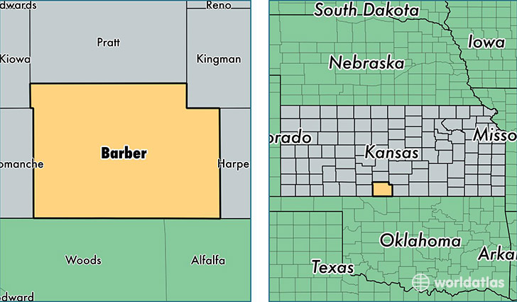
Barber County is a county equivalent area found in Kansas, USA. The county government of Barber is found in the county seat of Medicine Lodge.
With a total 2,942.66 sq. km of land and water area, Barber County, Kansas is the 634th largest county equivalent area in the United States. Home to 4,897 people, Barber County has a total 2741 households earning 45920 on average per year.
Barber County, Kansas - Quick Facts
| FIPS Code | 20007 |
| Area Codes | 620 |
| Time Zone | CST |
| Major Cities | Medicine Lodge (population: 2,506), Kiowa (population: 1,169), Sharon (population: 397), Hardtner (population: 241), Isabel (population: 228), Hazelton (population: 170), Lake City (population: 94), Sun City (population: 58) |
| Land Area | 1,891 sq miles |
| Water Area | 1,134 sq miles |
| Household Income | $45,920 |
| Housing Units | 2,741 |
| Median Home Value | $61,900 |
| High School Grads | 92% of population |
| Holders of Bachelors Degrees | 20% of population |
| Retail Spending | $14,910 per capita |
| Food & Accomodation Sales | $2,727 per capita |
This page was last updated on June 30, 2016.