Where is Warren County, Indiana?
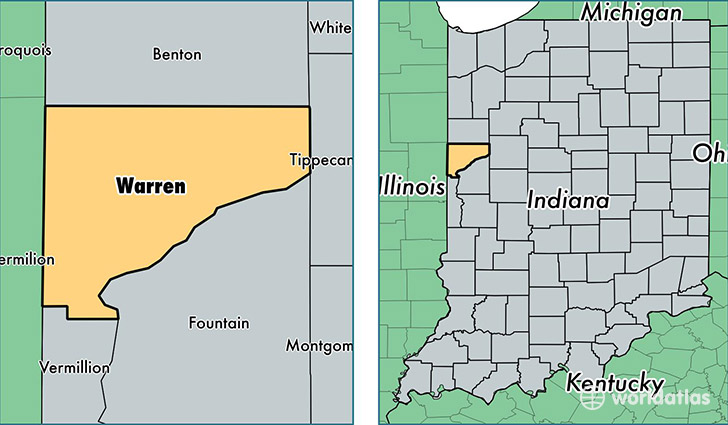
Warren County is a county equivalent area found in Indiana, USA. The county government of Warren is found in the county seat of Williamsport.
With a total 948.99 sq. km of land and water area, Warren County, Indiana is the 2692nd largest county equivalent area in the United States. Home to 8,352 people, Warren County has a total 3663 households earning 52317 on average per year.
Warren County, Indiana - Quick Facts
| FIPS Code | 18171 |
| Area Codes | 765 |
| Time Zone | EST |
| Major Cities | Williamsport (population: 3,841), West Lebanon (population: 1,049), Pine Village (population: 640), State Line (population: 140) |
| Land Area | 3,225 sq miles |
| Water Area | 365 sq miles |
| Household Income | $52,317 |
| Housing Units | 3,663 |
| Median Home Value | $99,500 |
| High School Grads | 83% of population |
| Holders of Bachelors Degrees | 16% of population |
| Retail Spending | $2,812 per capita |
| Food & Accomodation Sales | $8,420 per capita |
This page was last updated on June 30, 2016.