Where is Montgomery County, Indiana?
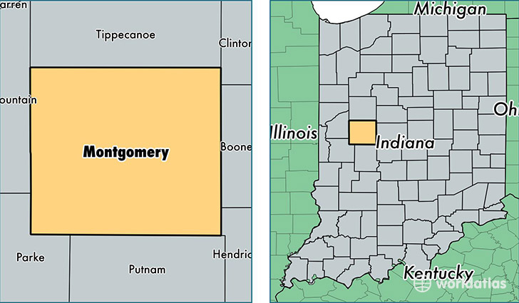
Montgomery County is a county equivalent area found in Indiana, USA. The county government of Montgomery is found in the county seat of Crawfordsville.
With a total 1,309.1 sq. km of land and water area, Montgomery County, Indiana is the 2157th largest county equivalent area in the United States. Home to 38,146 people, Montgomery County has a total 16474 households earning 46797 on average per year.
Montgomery County, Indiana - Quick Facts
| FIPS Code | 18107 |
| Area Codes | 765 |
| Time Zone | EST |
| Major Cities | Crawfordsville (population: 28,032), Ladoga (population: 2,227), Waynetown (population: 1,632), Darlington (population: 1,437), Waveland (population: 1,279), Linden (population: 1,092), New Ross (population: 987), New Richmond (population: 776), New Market (population: 648), Wingate (population: 477) |
| Land Area | 14,728 sq miles |
| Water Area | 505 sq miles |
| Household Income | $46,797 |
| Housing Units | 16,474 |
| Median Home Value | $108,300 |
| High School Grads | 88% of population |
| Holders of Bachelors Degrees | 18% of population |
| Retail Spending | $11,343 per capita |
| Food & Accomodation Sales | $48,487 per capita |
This page was last updated on June 30, 2016.