Where is Van Buren County, Iowa?
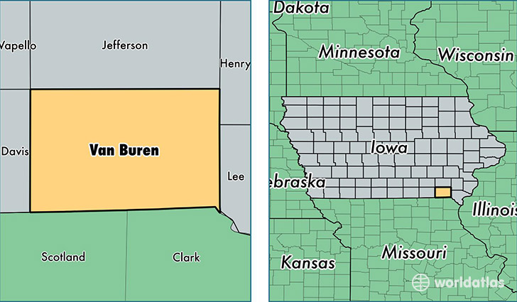
Van Buren County is a county equivalent area found in Iowa, USA. The county government of Van Buren is found in the county seat of Keosauqua.
With a total 1,270.44 sq. km of land and water area, Van Buren County, Iowa is the 2216th largest county equivalent area in the United States. Home to 7,468 people, Van Buren County has a total 3615 households earning 43181 on average per year.
Van Buren County, Iowa - Quick Facts
| FIPS Code | 19177 |
| Area Codes | 319,641 |
| Time Zone | CST |
| Major Cities | Keosauqua (population: 1,994), Farmington (population: 1,327), Milton (population: 939), Bonaparte (population: 923), Birmingham (population: 874), Douds (population: 677), Stockport (population: 636), Hillsboro (population: 443), Cantril (population: 428), Mount Sterling (population: 159) |
| Land Area | 2,883 sq miles |
| Water Area | 485 sq miles |
| Household Income | $43,181 |
| Housing Units | 3,615 |
| Median Home Value | $69,700 |
| High School Grads | 87% of population |
| Holders of Bachelors Degrees | 14% of population |
| Retail Spending | $4,810 per capita |
This page was last updated on June 30, 2016.